It wasn’t meant to be seven days; it was only meant to be three nights and four days; but somewhere along the line the scratchy throat I had been nursing turned into a dragging feeling; snot dripping down my throat choking me at night and a tightness in my chest.
I was feeling like death warmed up and figured I was not going anywhere for a while.
I had climbed the precipitous outcrop of Bobotov Kuk (highest lump in Montenegro) - (see notes on Bobotov Kuk below) and knew by the way I was dragging my feet and suffering on the uphills, that I wasn’t 100 precent well, especially given the last hike I had done in Kotor in the seething heat, I had felt fit and strong and was thinking I would be on track for hiking strongly in Albania.
This was a definite set back.
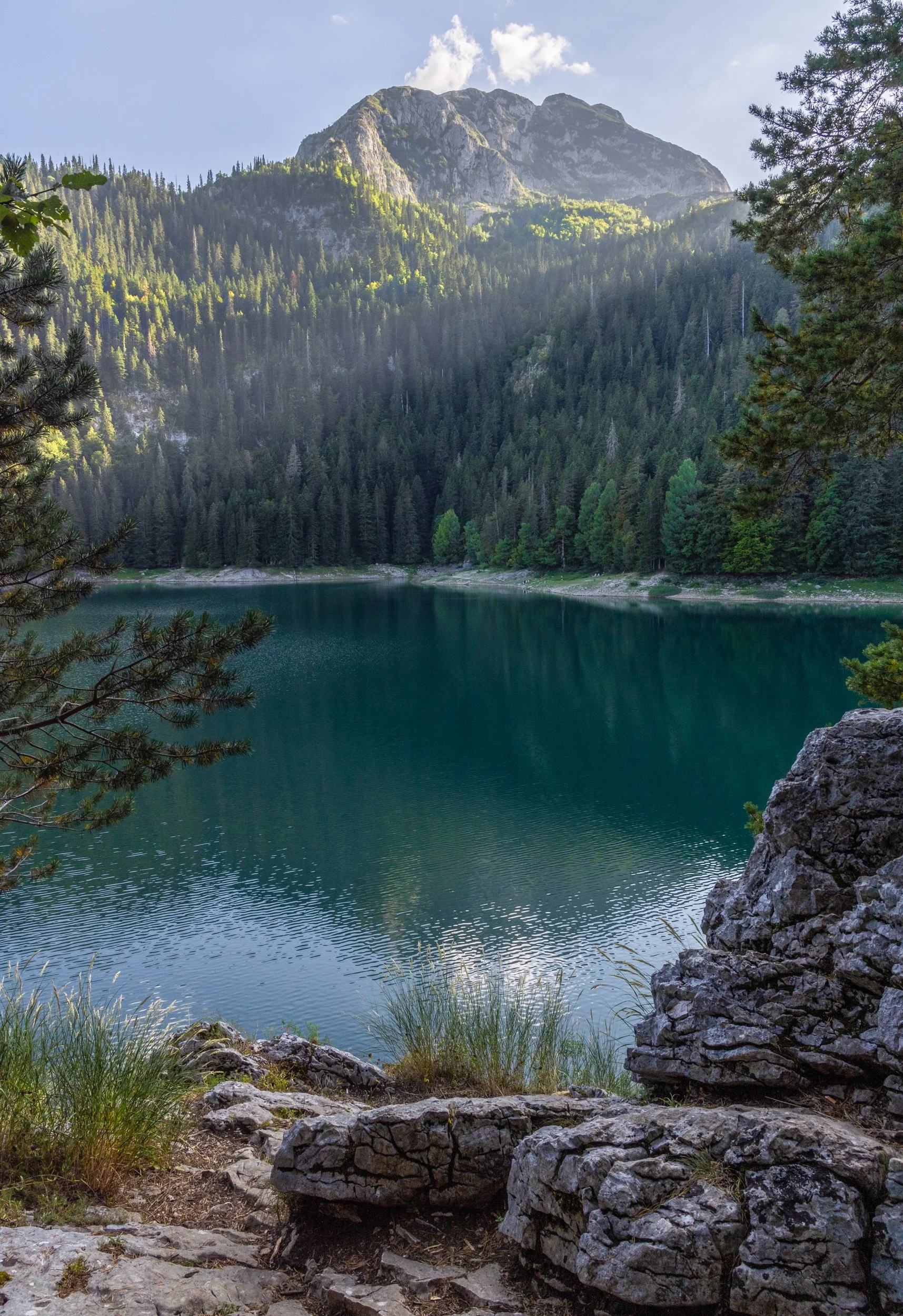
I crawled out of bed and found the pharmacy in town - parted with 50 euro to prop up my weakened immune system and went and lay by Black Lake in the sun. The three km walk back to my accommodation was a battle - only slightly uphill but it felt like I was hiking a mountain.
I had to make use of the street side benches to catch my breath.
Whatever this lurgy was it was going for my lungs big time.
So I asked to stay another night at the comfortable guest house and my three nights became four, then five and eventually morphed into seven nights. I laid extremely low for three days - venturing out only for caffeine and food - giving my body the time it needed to just get well. I chugged down copious quantities of Vitamin C, Zinc and cold medication in order tyo stave off that awful feeling of near death that only a heavy cold could create. .
Savin Kuk:
On day five I woke feeling more optimistic and decided to do the ten km return trip to Savin Kuk ski area so I could hike to the summit.
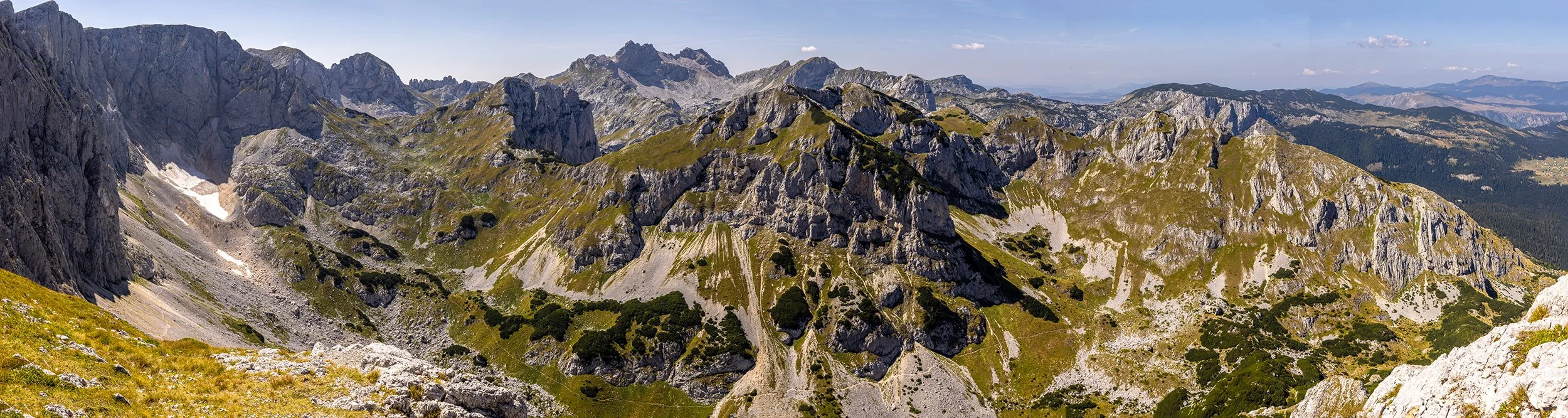
After walking over to the base area from Black Lake, I realised a further grovel up the wide trail ahead was beyond my capabilities that day, so I hiked to the halfway point and then boarded a chairlift to the top instead.
I really had wanted to hike this route but I knew there was no way I would be able to - I do not do well with feeling defeated, but I had no choice but to suck it up and do what was best for me on that day.
In truth, I probably should not have even walked as far as I did!
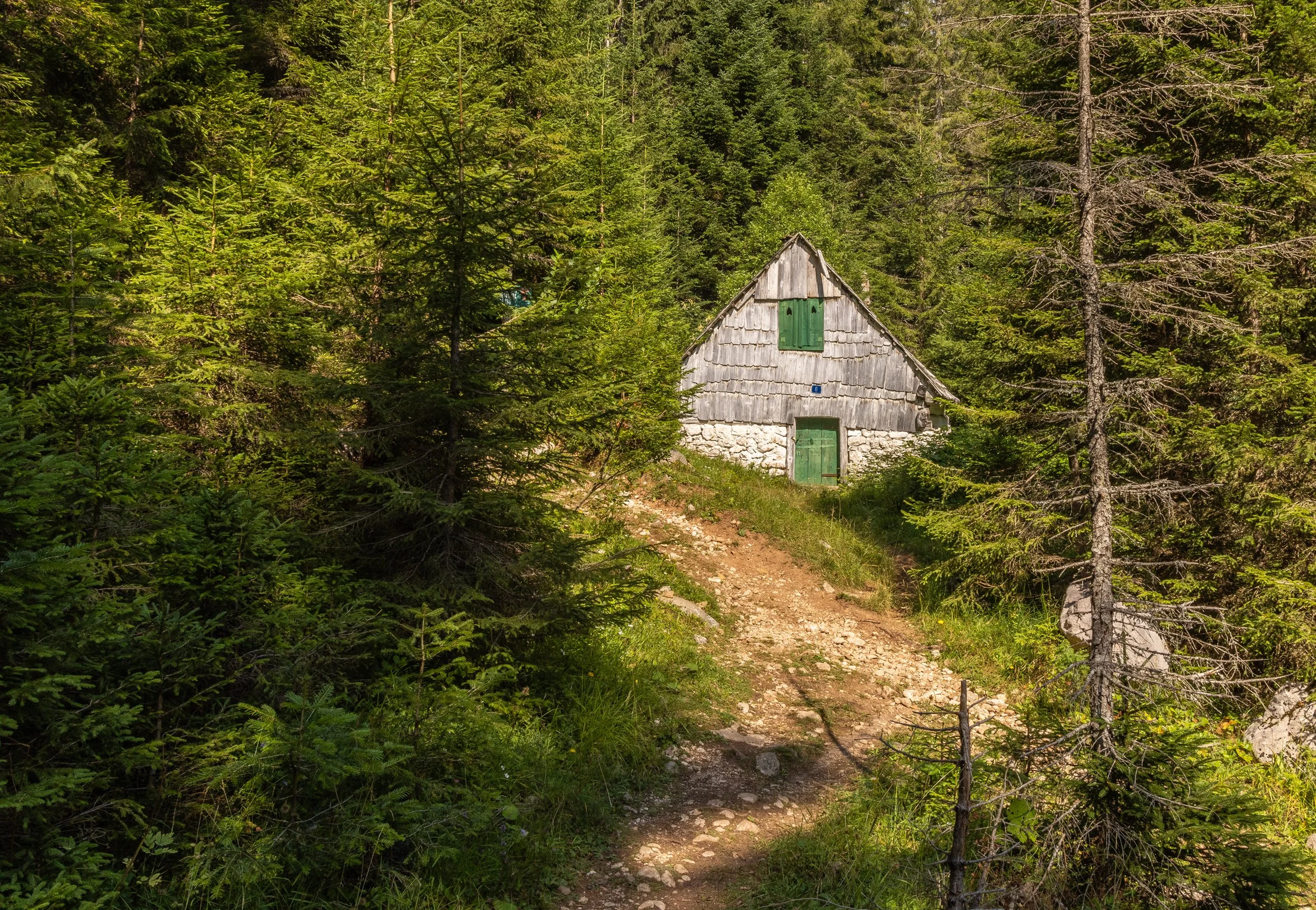
The walk over takes the snow shoe trail - a narrow channel cut into thick forest. I was aware there were bears in this area, so was ever watchful, a nervous edge which as a Kiwi I was not used to having to dial into when in nature. I tried to think of the three bears in Goldilocks - surely with all the gorgeous wee alpine houses here, that’s all I was likely to stumble across?! It’s a very pleasant hike that goes up over a small saddle into the sprawling ski area below. I visualised this place in winter snow - crawling with skiers and briefly pondered a return trip during winter … no that would be quite mad ….
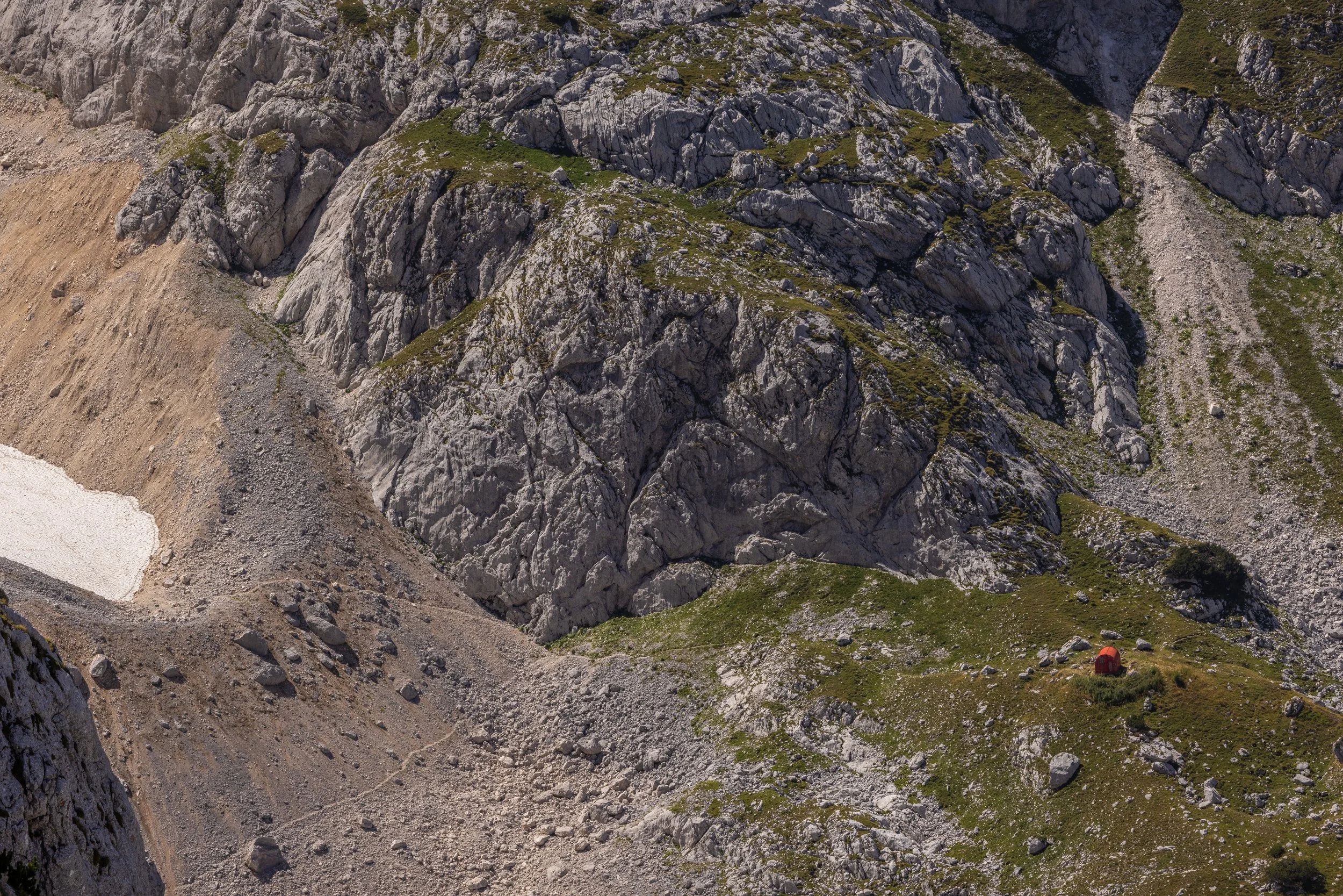
Feeling glad to have ridden the chair lift up the rest of the way, I perched myself on the edge of the precipitous drop into the Velika Kalica, eying up the glacier and the faint red dot of the hut near its terminus, on a mound, 1000m below.
Hmmmm … that would be a hike to aim for.
People posed on the edge (a little too close for comfort), and I thought about putting on another layer, as a brisk afternoon breeze kicked in. I could see a steep descent into the valley below via a rope and watched as two people lowered themselves gingerly off the edge and into the steep gully, feet scrambling on the edge of the cliff face, rocks falling beneath them.
Apparently the first 100m or so descent, was quite the event.
I reconsidered that as an option to get to the hut - but definitely studied it for a long time playing out the scenario in my head.
I opted for a chairlift descent so I could really study the surrounding area. This was also the steepest chairlift I had ever been on - no safety rail across ones lap and when I looked up, I noticed the rusting connections holding the chair arm not the cable. Ah well - I guess; ok ….
At the base area there are two large cafes. I ate stuffed vegetables and supped a terrible coffee, soothing a hungry stray puppy that had curled up at my feet in the sun.
At some point an angry woman came out of the kitchen and kicked the puppy into consciousness before kicking it out the door altogether.
The pup yelped its protests.
Customers looked the other way.
The angry cook cursed.
Lovely.
Hiking to Verika Kalica:
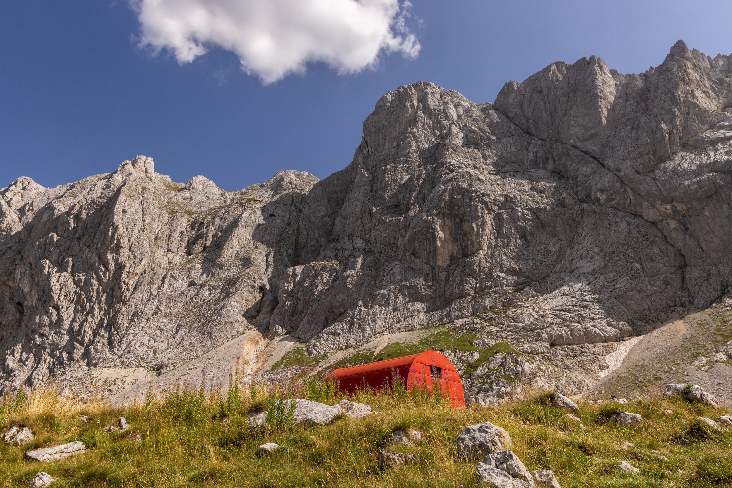
The day after I stood atop Savin Kuk and briefly (and somewhat madly) pondered a roped descent into the valley below to reach the red dot of a distant hut (Alpinistički Bivak), I stood inside its curved walls kicking myself for not having kitted myself out for a night there. It was a small hut of the old-school vibe; wooden walls and bunks; cosy and the perfect place for candle lit fare and big starry nights. It was absolutely dwarfed by the surrounding peaks - a small safe haven amidst the raw giganticness of the mountains it was nestled within.
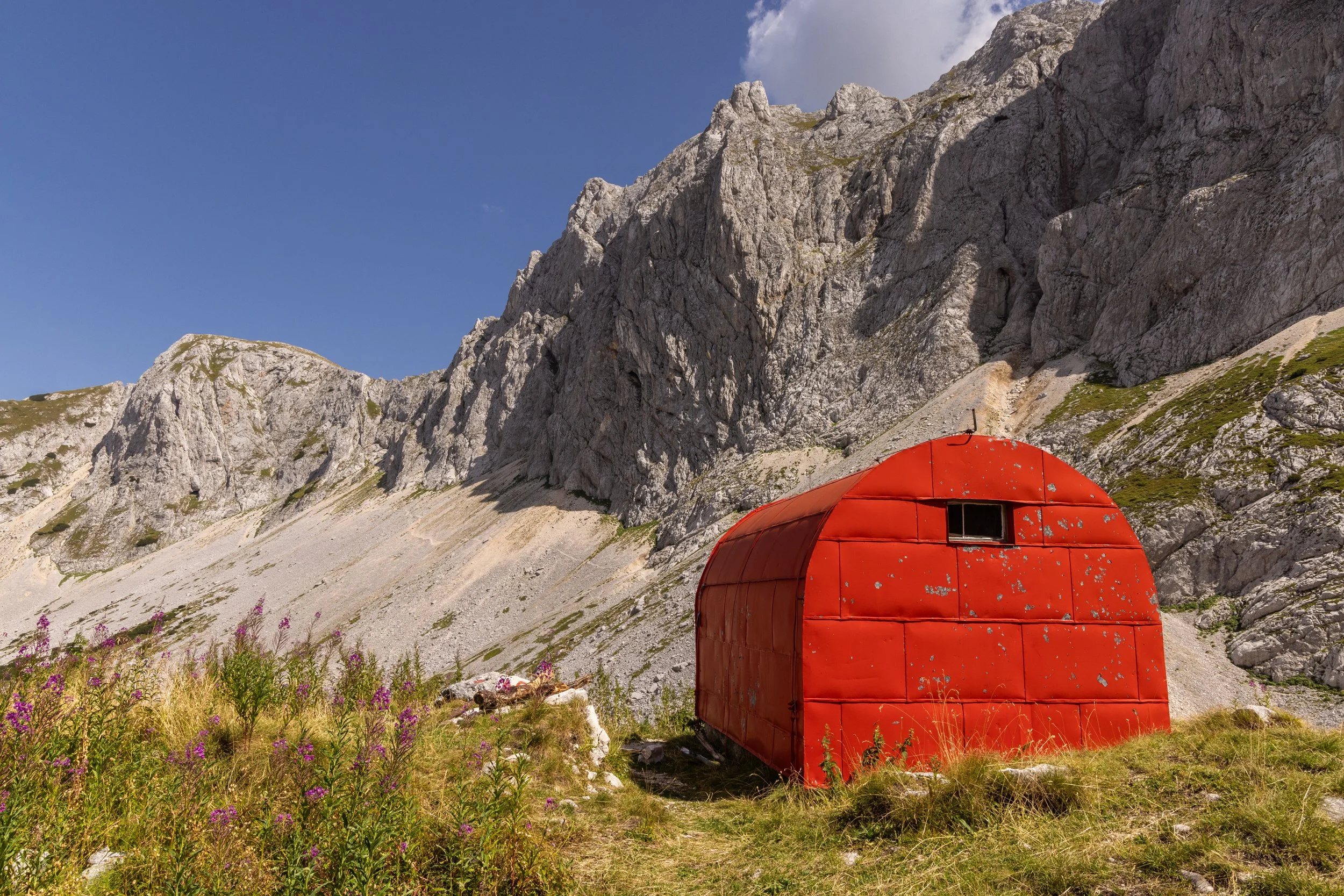
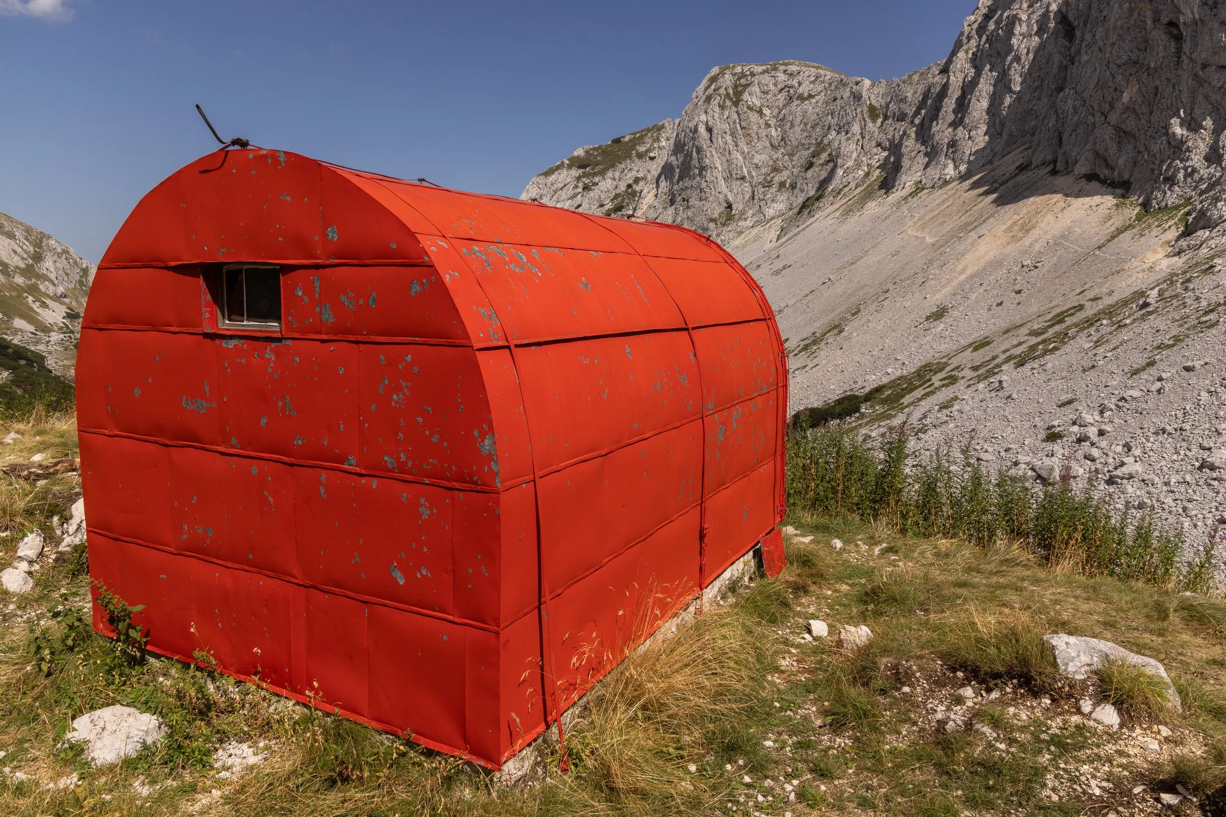
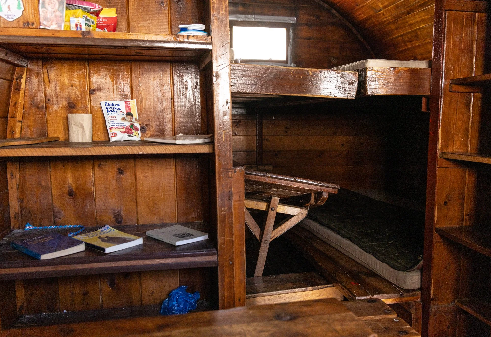
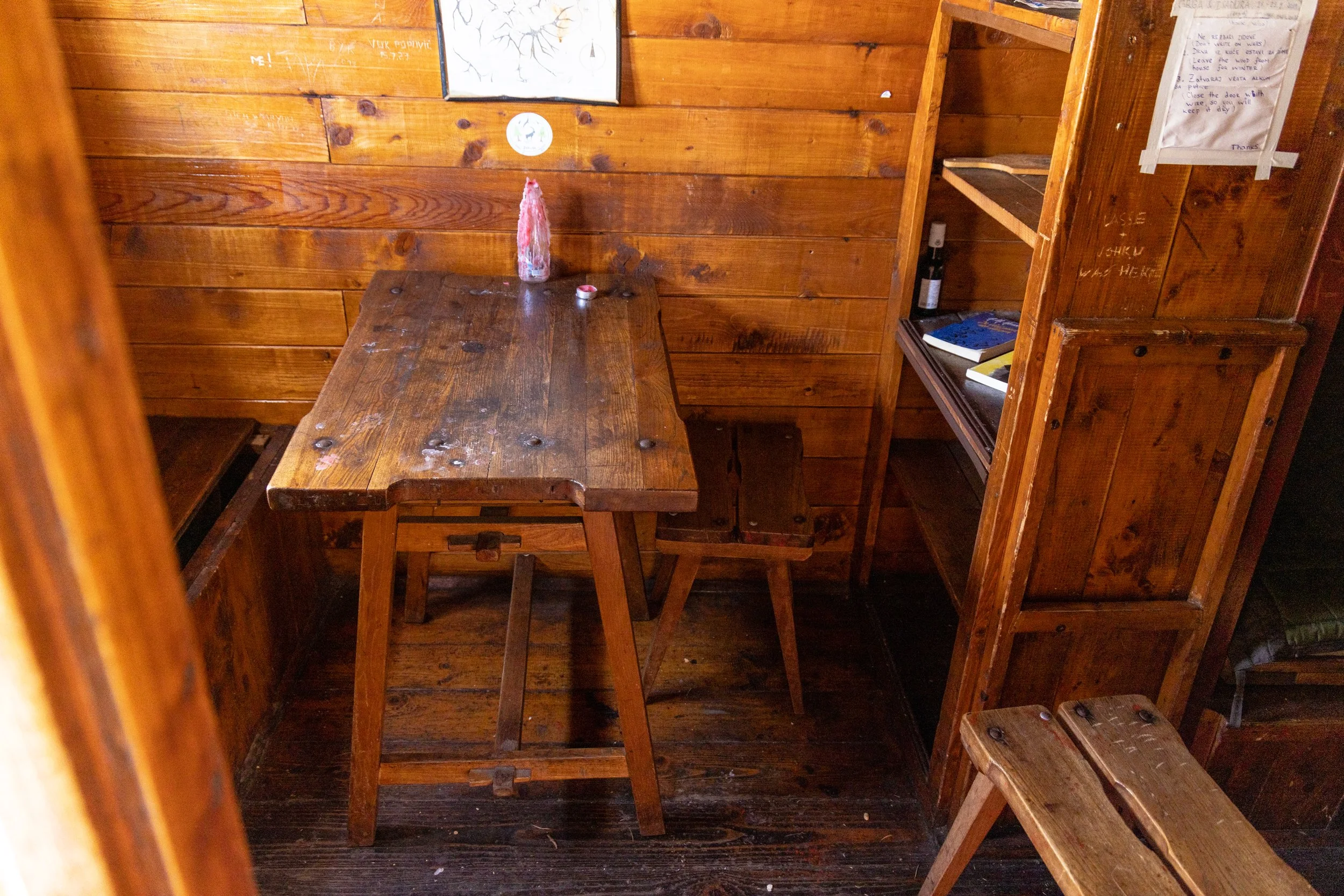
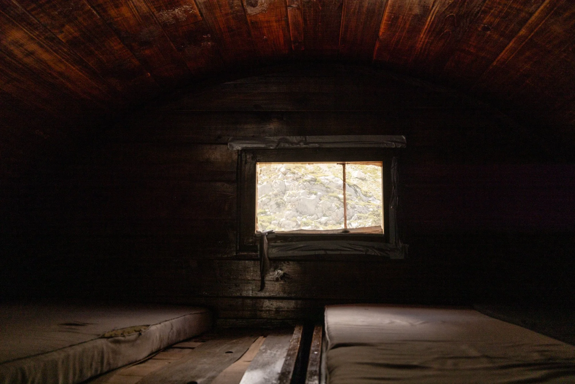
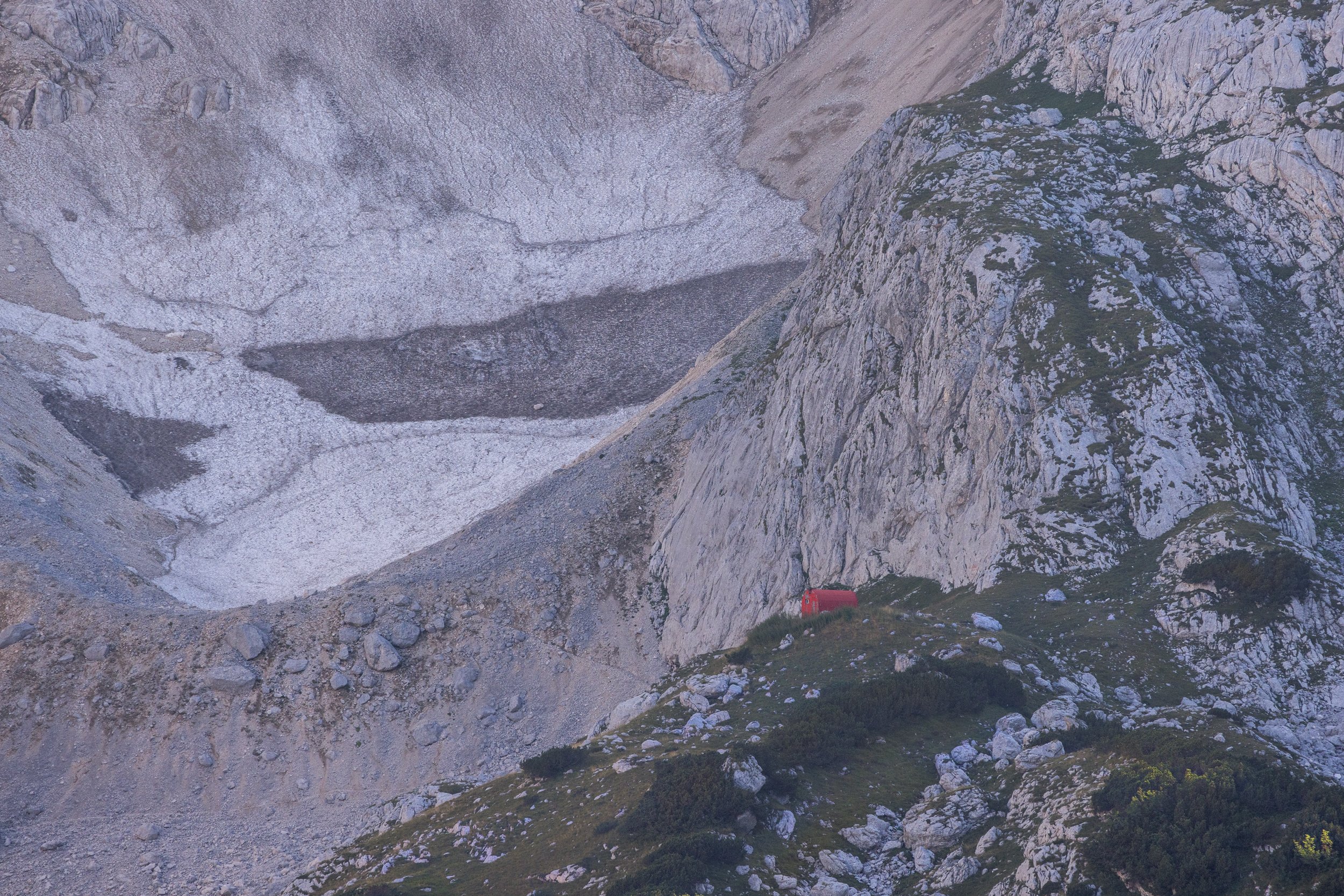
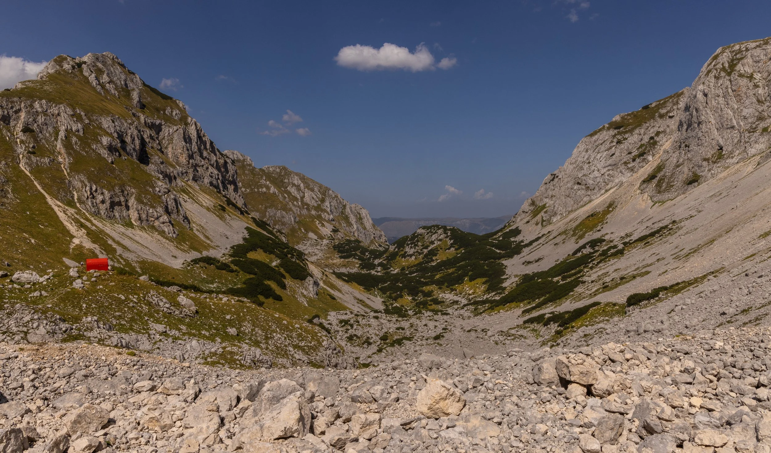
Tucked into the valley end, surrounded by impressive jagged slopes, with a large wide glacial tongue inserting itself into the head of the valley, a short walk away, this hut is reached via the Verika Kalica Valley, and makes a 19Km round trip with over 1000m elevation gain. The glacier (Debeli Namet), sits under Mount Šljeme, at an elevation of roughly 2,050 metres, and is the only remaining permanent glacier in the area. The hike to the north facing bowl itself starts off fairly straight forward but what it initially lacks in technical terrain underfoot, is soon made up for once the pass is reached. The steepness increases rapidly on the last few hundred metres to the pass but after this on the approach to the hut, a large boulder field needs to be negotiated along with a broad steep scree slope.
The hut itself sits on a rocky outcrop above the valley and higher than the glacier terminus, which can be accessed a further 30 minutes slog beyond the hut.
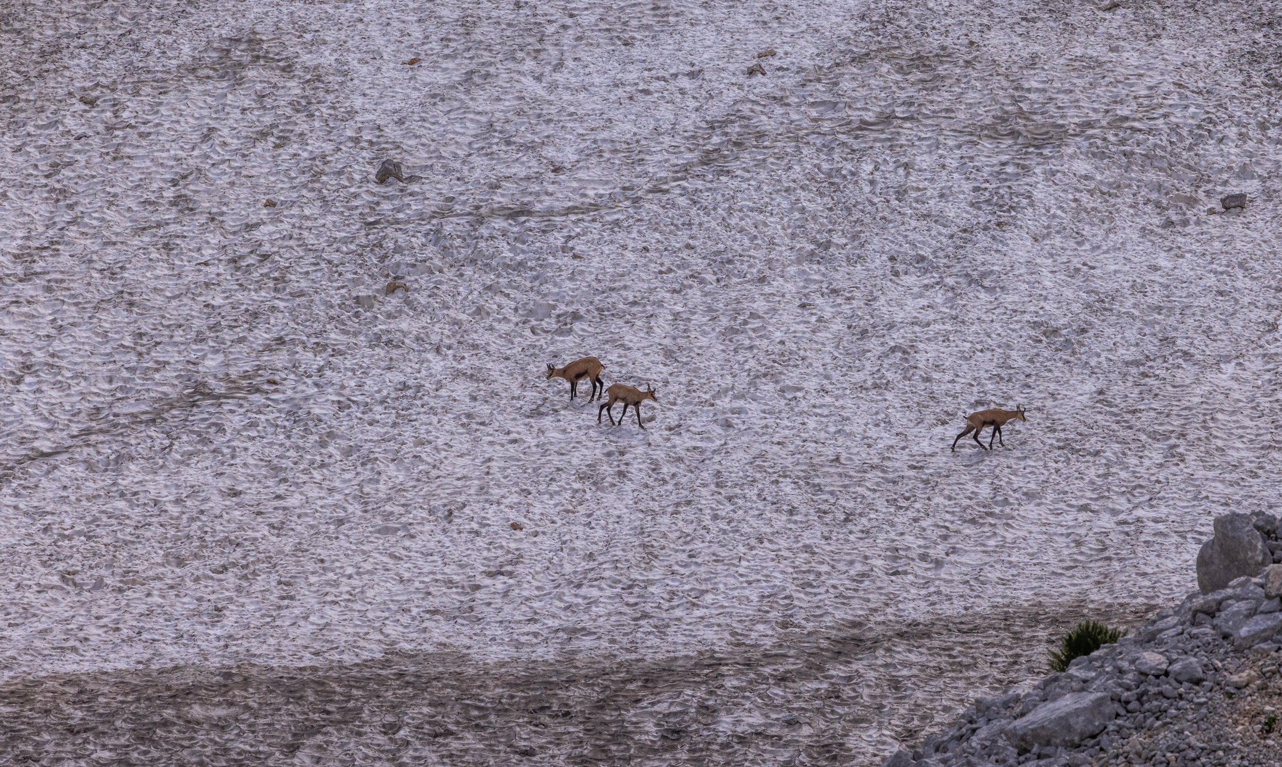
I saw many small deer-like animals running around on the glacier - an odd sight considering there was no food there - but small young ones were playing amongst larger presumably adult deer.
From this cirque area, the track to the Savin Kuk area could be reached - requiring from this approach, a steep ascent using the rope I had seen the people descend yesterday; also a track up to some nearby peaks dissected the main track through the valley.
I made a mental note to come back and explore this area again if I ever found myself back in Montenegro.
The Numbers:
19KM; 1082m elevation gain; 5.5 hours.
Terrain: Rolling with consistent ascent to hut Alpinistički Bivak; forest trails; open valley trails; boulder field hopping; scree slopes; glacier.
Bobtov Kuk : The Crowning Glory of Montenegro
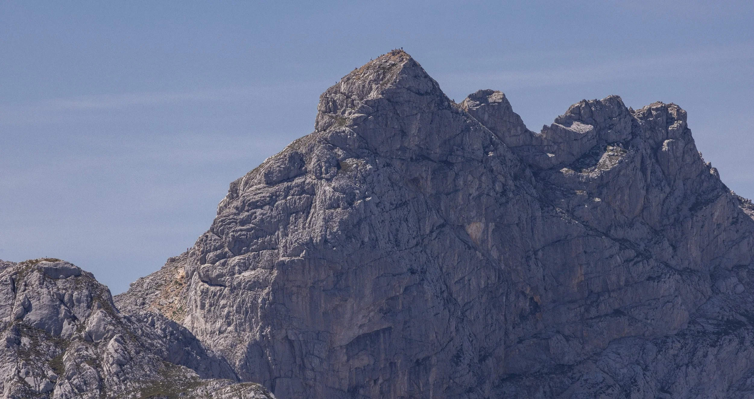
There is some debate if indeed the imposing domed monolith of Bobtov Kuk is the highest mountain in Montenegro. There are suggestions the true highest point is on the border with Albania, in Protletkjia NP.
Either way - I was up for it.
Recovered well from my illness and feeling good to go, I decided to hike the route which went from Black Lake. Black Lake is itself a stunning destination for a cruisey circumnavigation of the clear green blue waters. The trail is well marked with the standard red and white bullseye design, and occasionally painted names on rocks.
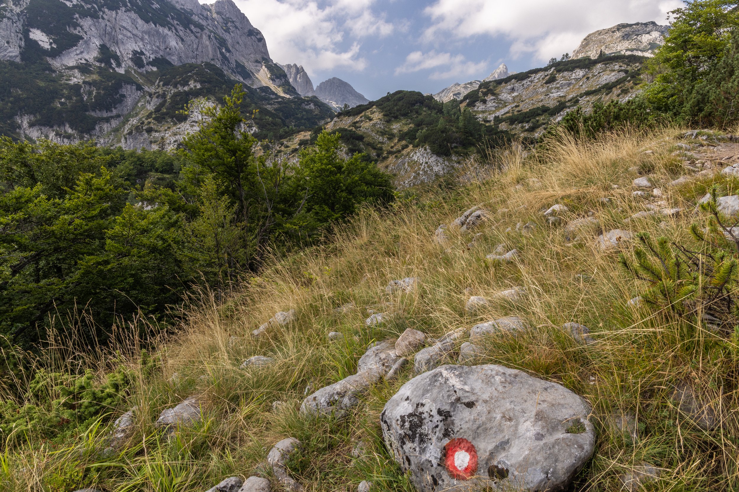
In places I really did have to stop and look. Branching off the scenic mountain oasis of Black Lake, I quickly emerged above the tree line and continued up slowly onto the rocky steep surrounds of the Durmitor Mountains which form part of the greater Dinaric Alps. The ever-changing offerings of landscape had me pausing to take it all in and collect images with my camera - which of course I was lugging all this way with me.
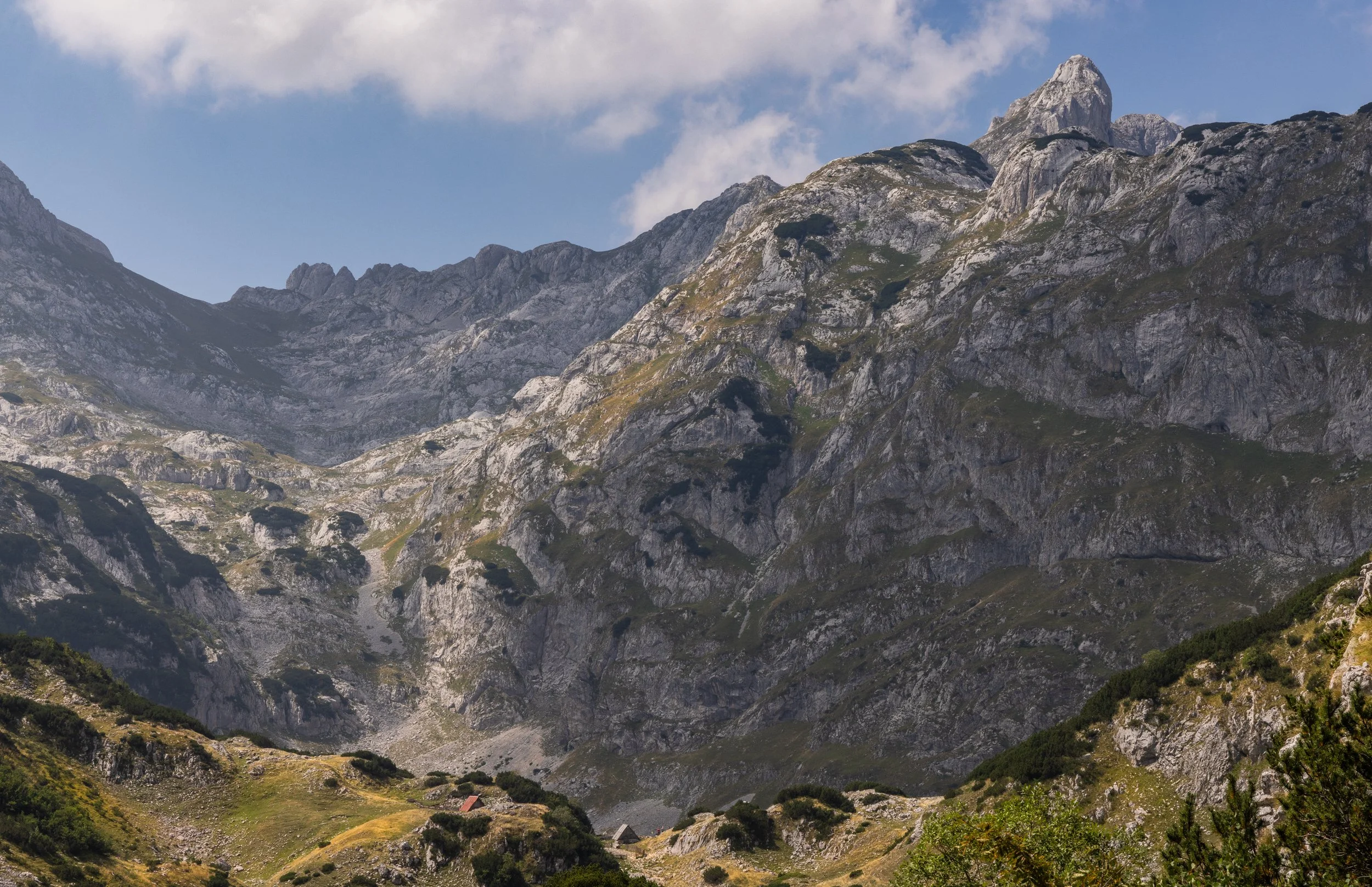
Crossing the open valley area, there is a camping spot complete with an old stone and wood shed where cold beverages and beers can be purchased. I was disappointed this was not operating on the day I opted to hike up to Bobtov Kuk, but evidence of the previous days antics lay around with empty bottles spilling out of the trash can. This area would be brilliant for pitching a tent, and a I made a mental note for if I opted to come back here in the future - sleeping in a stunning green valley surrounded by jagged mountain peaks is certainly my idea of a good night out. I could see the trail continue on in the distance and a saddle that I figured I would be aiming to reach in order to make the final ridge to the summit.
It looked like a wall…
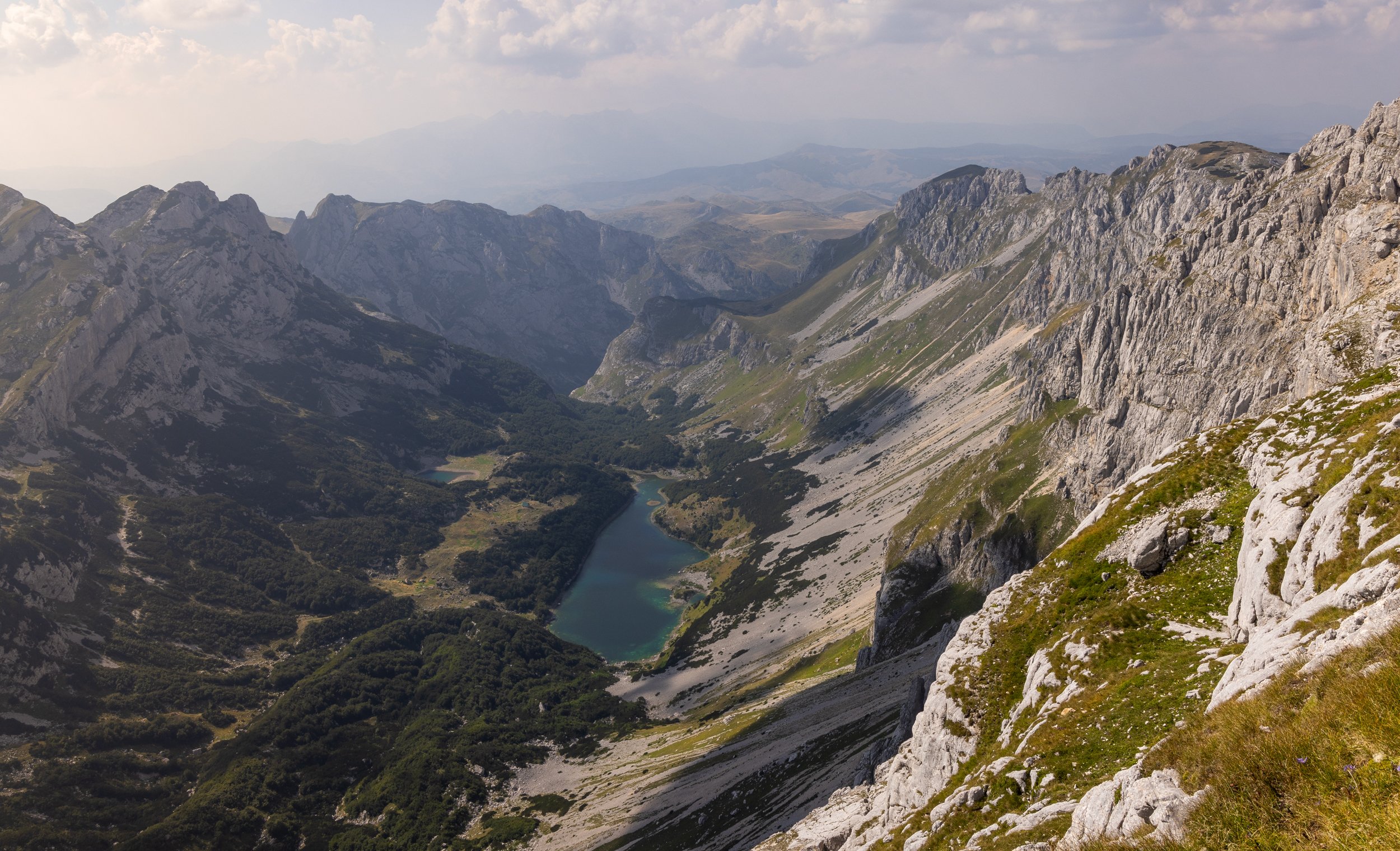
The last two kilometres of this trail is incredibly rocky, with huge boulders the size of cars making the travel slow, cumbersome and exhausting. I had to stop more frequently to search for the trail signs, and really take my time in considering my next steps. Several times I went off-track, retracing my steps and realising there was in places, no evidence of trail markers at all. Scree littered the slopes of the final steep push, making it extremely exhausting to negotiate the trail - adding to this stopping to hunt for the trail signs to the saddle, and then a narrow exposed scramble to the summit itself. On top is the orange metal box housing a book and pencils, for people to fill in the date and time they arrived at the summit.
I imagine in winter this is totally covered in snow; I imagined in winter no one came anyway …
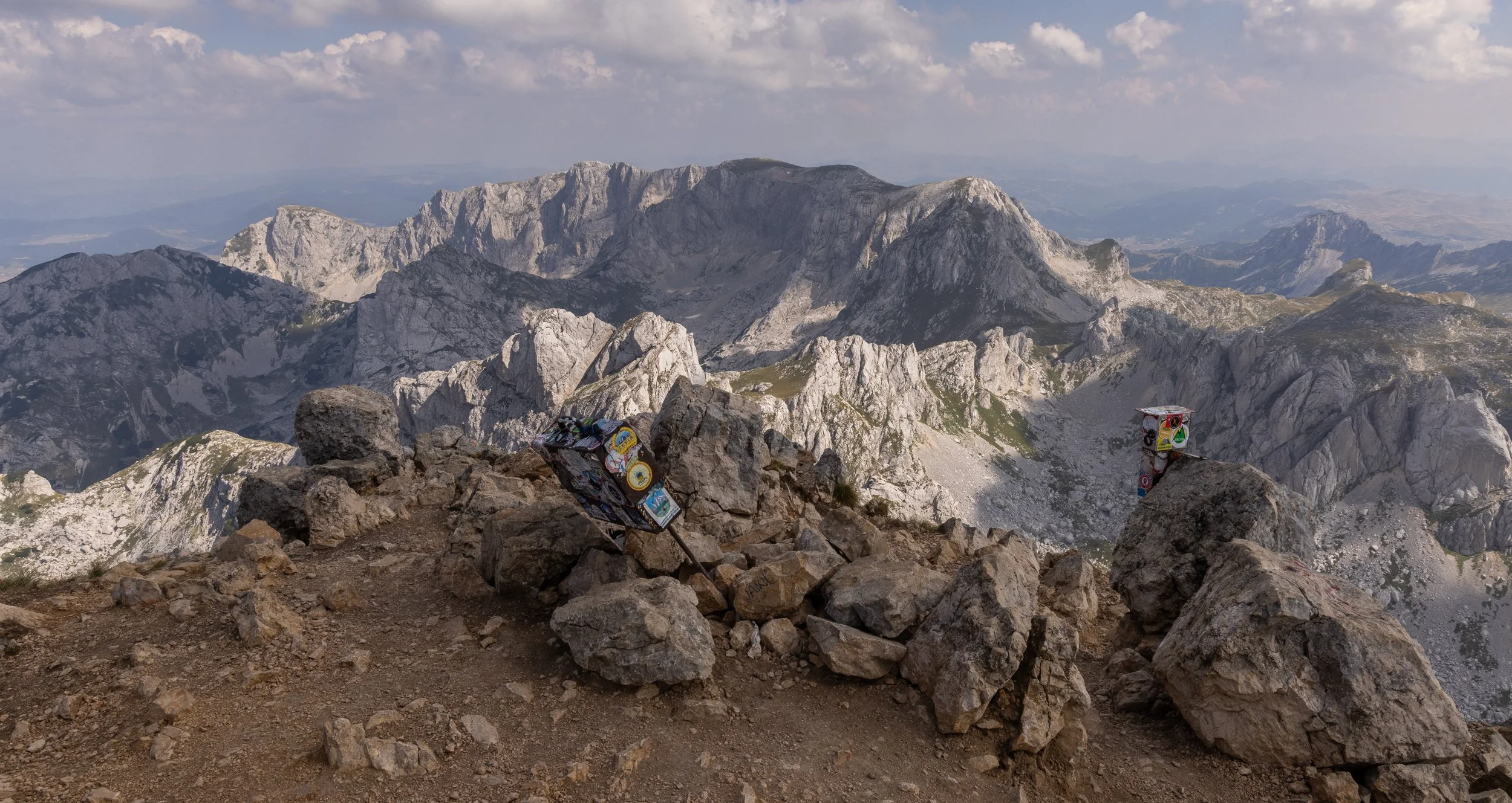
I had the roof of Montenegro to myself. It was a 360 degree incredible view on a stunning bluebird day. It was warm and I felt the sun pushing through the layers of my skin, reminding me why I go out and for hours on end seeking that sense of achievement in the midst of pain in my legs.
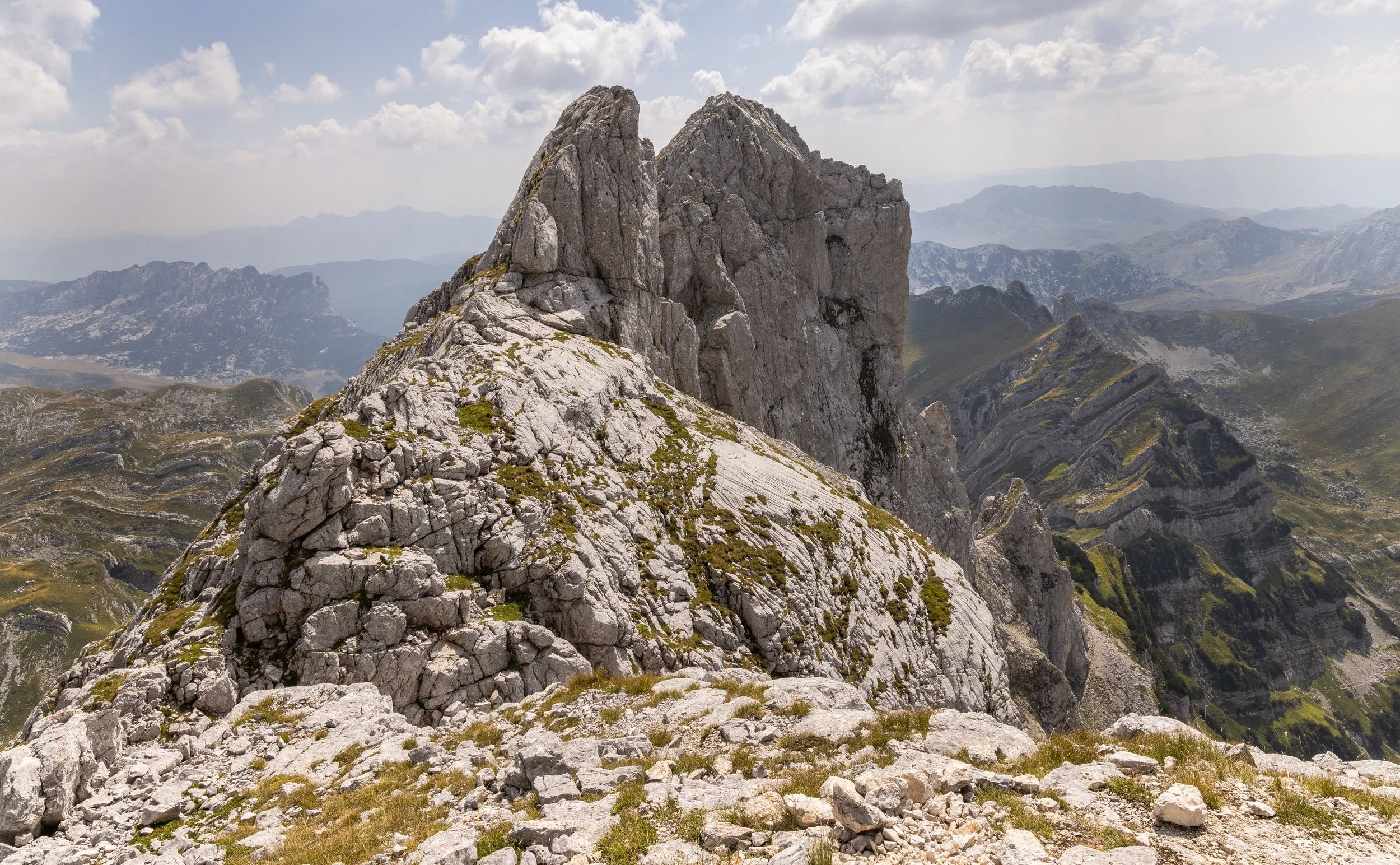
I did not realise until I had stood on the saddle of the summit ridge, that there was an alternate trail which is the way most people had come and explained why I never saw a soul on my hike in. I considered briefly, taking this trail down, but realised it would require trying to catch a ride back to Zablijak. I retraced my steps, down the steep unstable rock and scree slope, and made good time back to Black Lake where I stripped down and gratefully soaked my tired body.
Zablijak and Black Lake (Crno Jezero:
The journey from Kotor to Zablijak took about 2.5 hours by bus and included some of the most incredible serpentine roads I had ever been on, with precipitous drops and gorgeous valley views, dotted with quaint old villages. The Dinaric Mountains opened up in the distance and before long I was staring in awe out the window at the irregular shape of Durmitor NP mountains.
Durmitor National Park is the home to intensely dramatic landscapes, including 18 alpine lakes and the deep Tara Gorge. The mountains were formed from a limestone massif and centuries of erosive forces and glacial action which has carved out deep U-shaped valleys. Consequently, there exists some of the most stunning landscapes I have ever seen.
Zablijak is the hub town of all adventure and outdoors activities in the park - much like the Queenstown of New Zealand - providing access to rafting in the Tara Canyon (1340m deep), to the alpine lakes of Durmitor NP, winter activities such as skiing, snowshoeing, climbing, and in summer hiking, climbing, swimming, paddle boarding and so on. Zabliajk was where I would spend a few days (see my notes above on how this ended up being a few more days!). I stayed in Verica Rooms - a comfortable family owned establishment, in a very comfortable large room, for 17 euro a night.
Bargain.
This did not include any extras - just a room, and a shared bathroom. It was five minutes walk to the bus stop and ten minutes walk to the main shopping area, which is home to a large well supplied supermarket, numerous outdoor shops, bakeries, cafes, a pharmacy, adventure companies and a very good information centre.
It was an easy town to spend time in with a three km walk to Black Lake.
You have to pay a fee to enter BL - 5 euro. After seeing the state of the public toilets there I asked what the 5 euro was being used for apart from trail maintenance. Not getting an answer, I decided to by-pass the payment booth and use a side street and forest access instead.
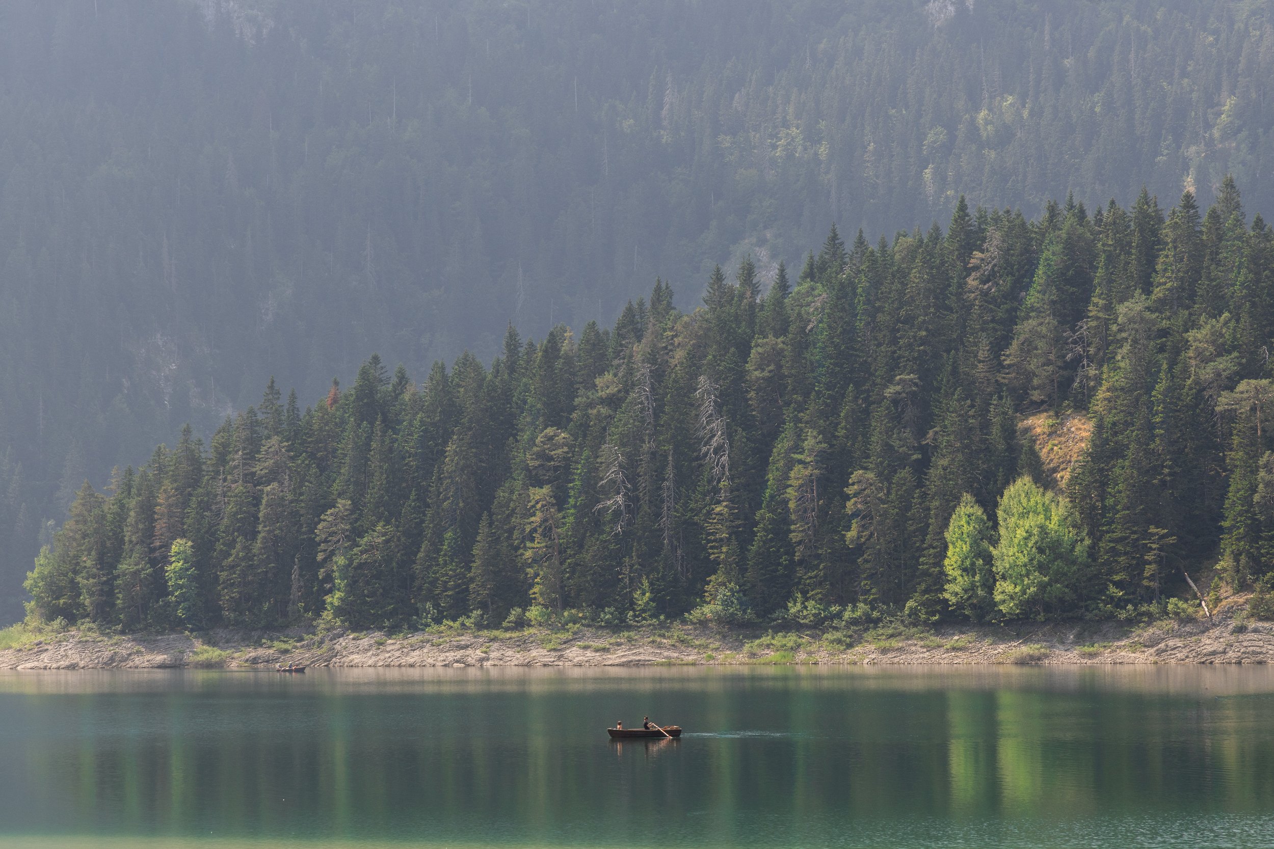
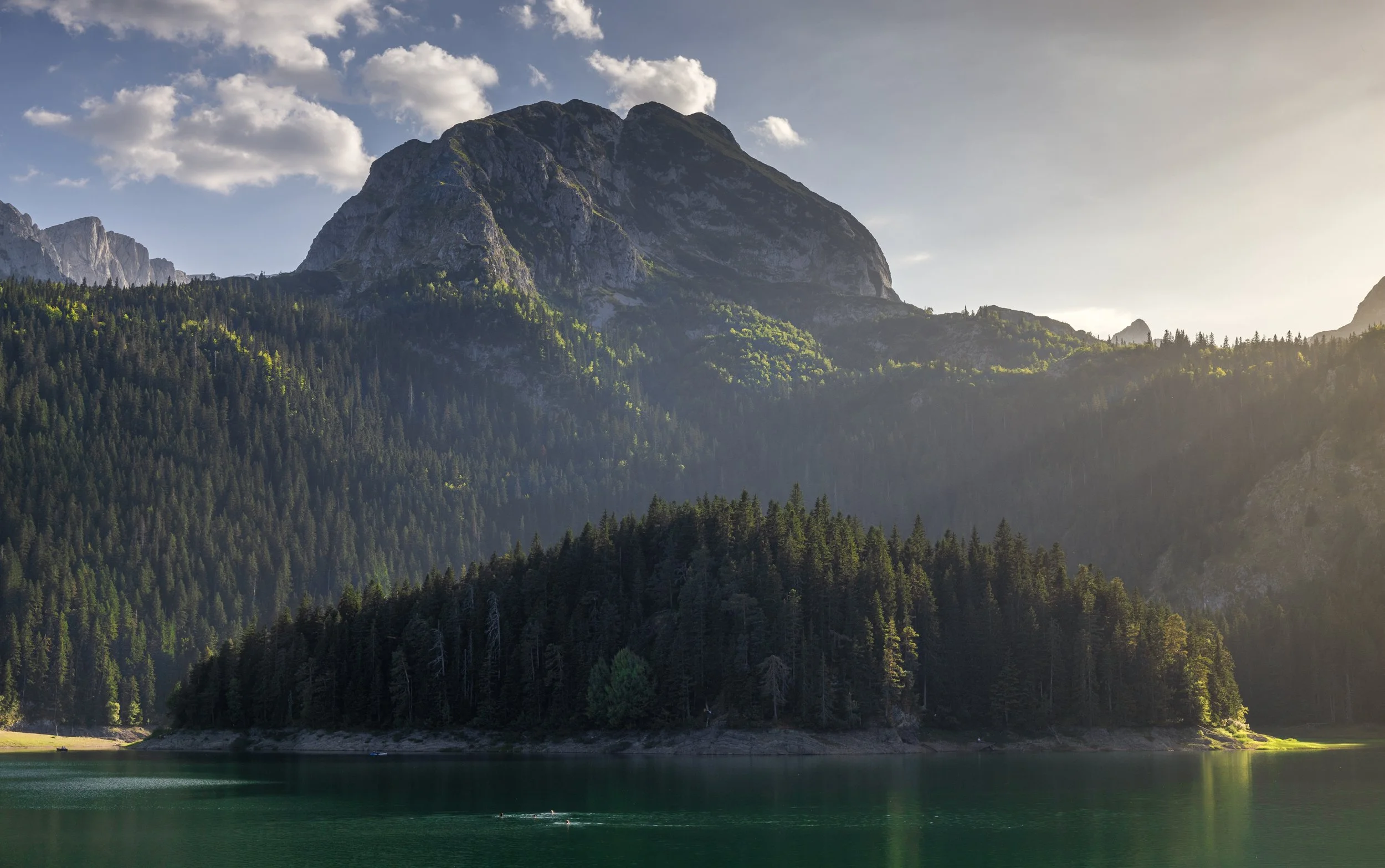
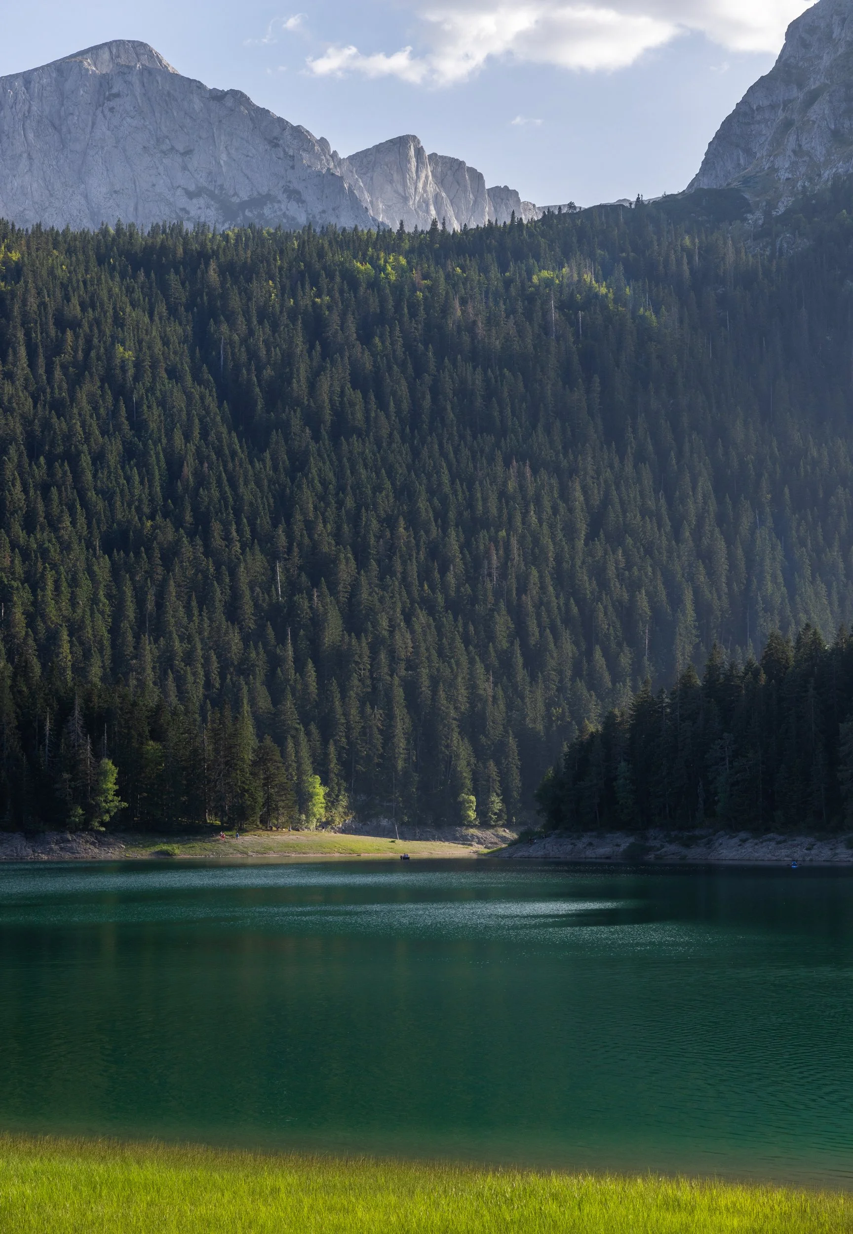
Black Lake is one of the 18 alpine lakes in Durmitor and sits at 1450m above sea level, amidst lush forest and surrounded by arresting, intimidating peaks. It is a major tourist attraction in the summer, although I was there in August, which proved to be a good time as the peak month of July had past.
There were still plenty of people around, enjoying the last of the summer - lazy days beside the lake; slow ambling forest walks, canoeing and cafe sitting was all on the cards for the frequenters of the lake.
I could happily do another seven nights ‘trapped” in Zablijak!